The CAT project is dedicated to making it easier for school children to walk and bike to school. The project is supervised by Julie Medero in the Computer Science Department at Harvey Mudd College.
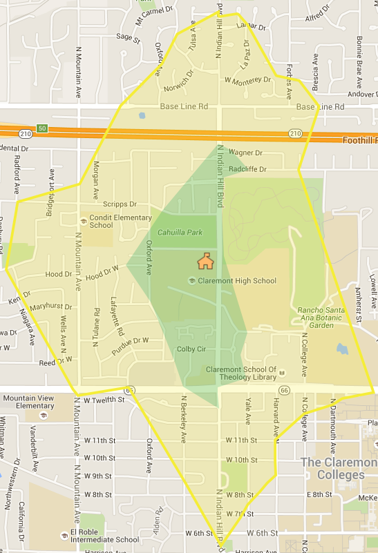
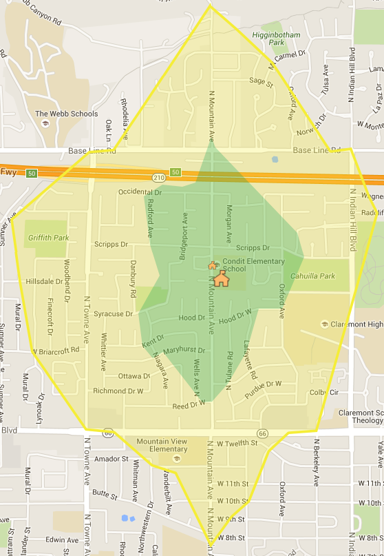
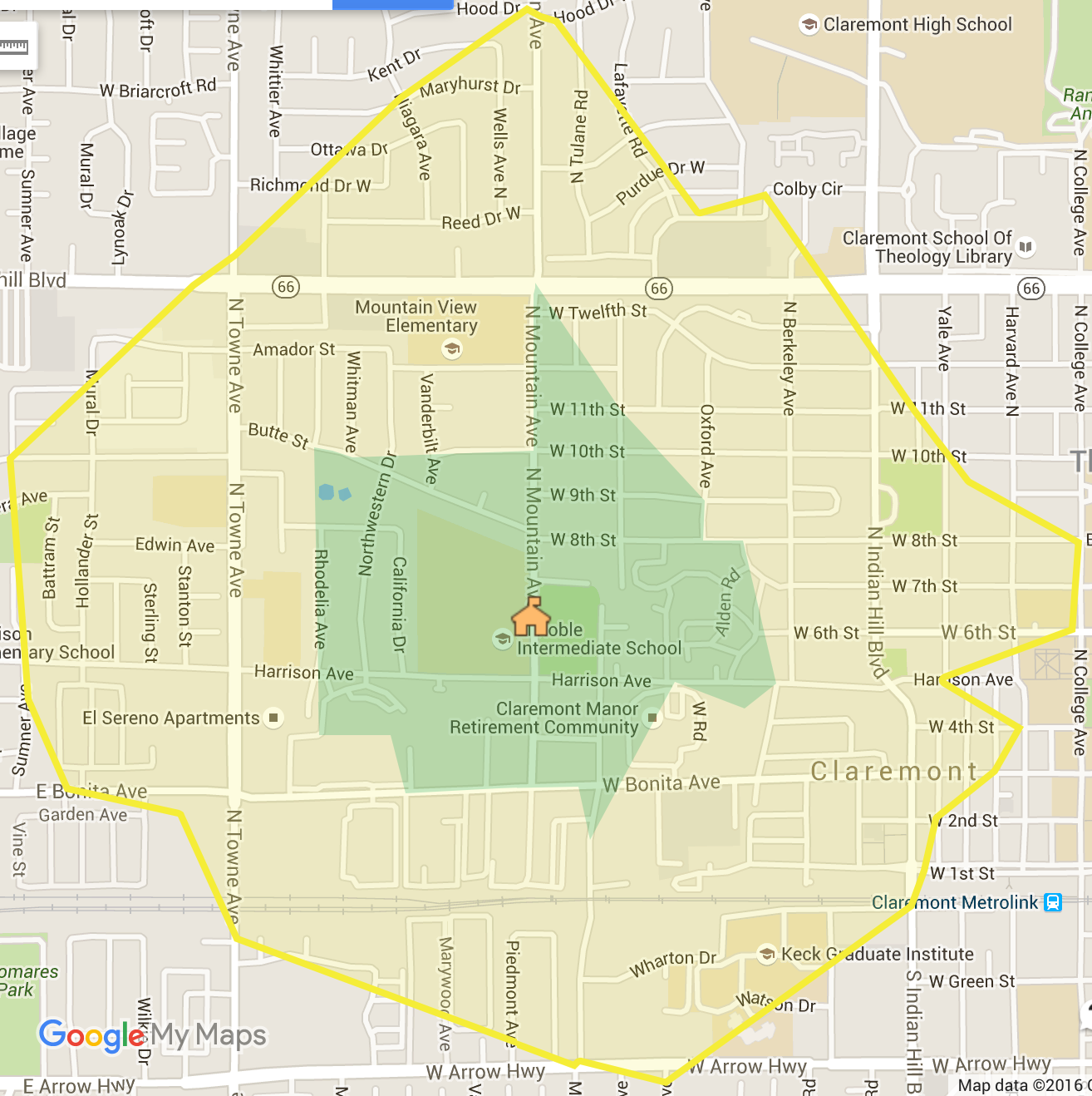
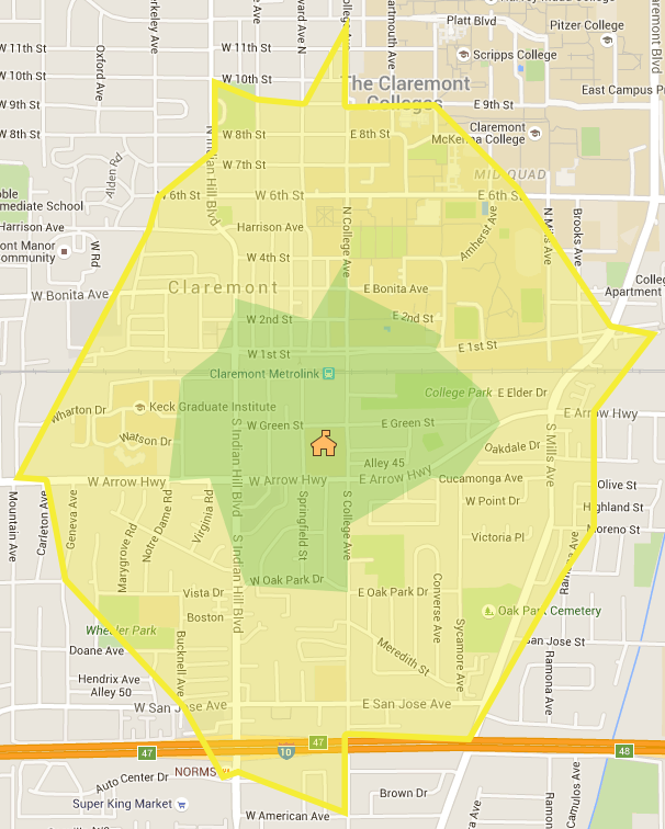
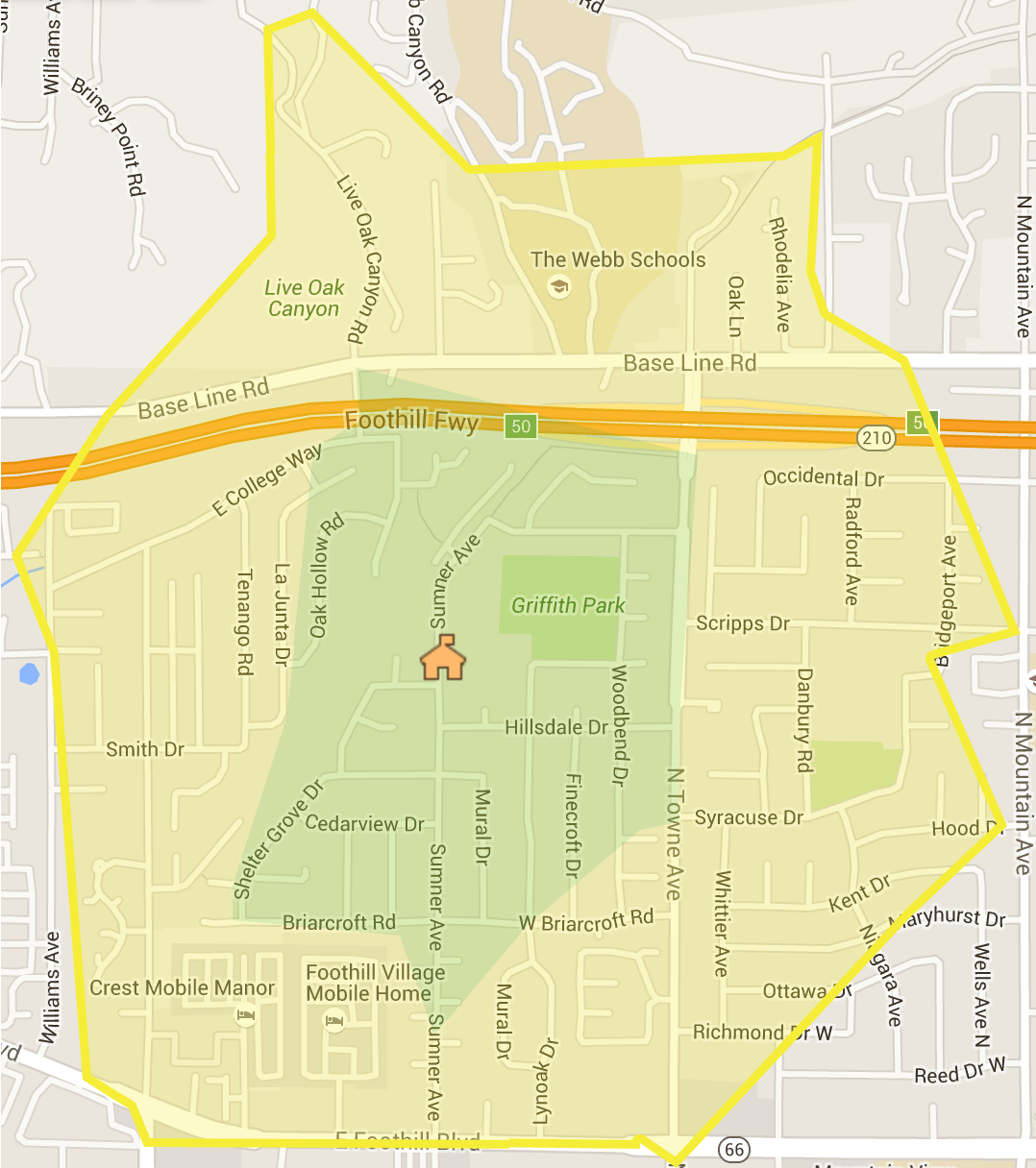
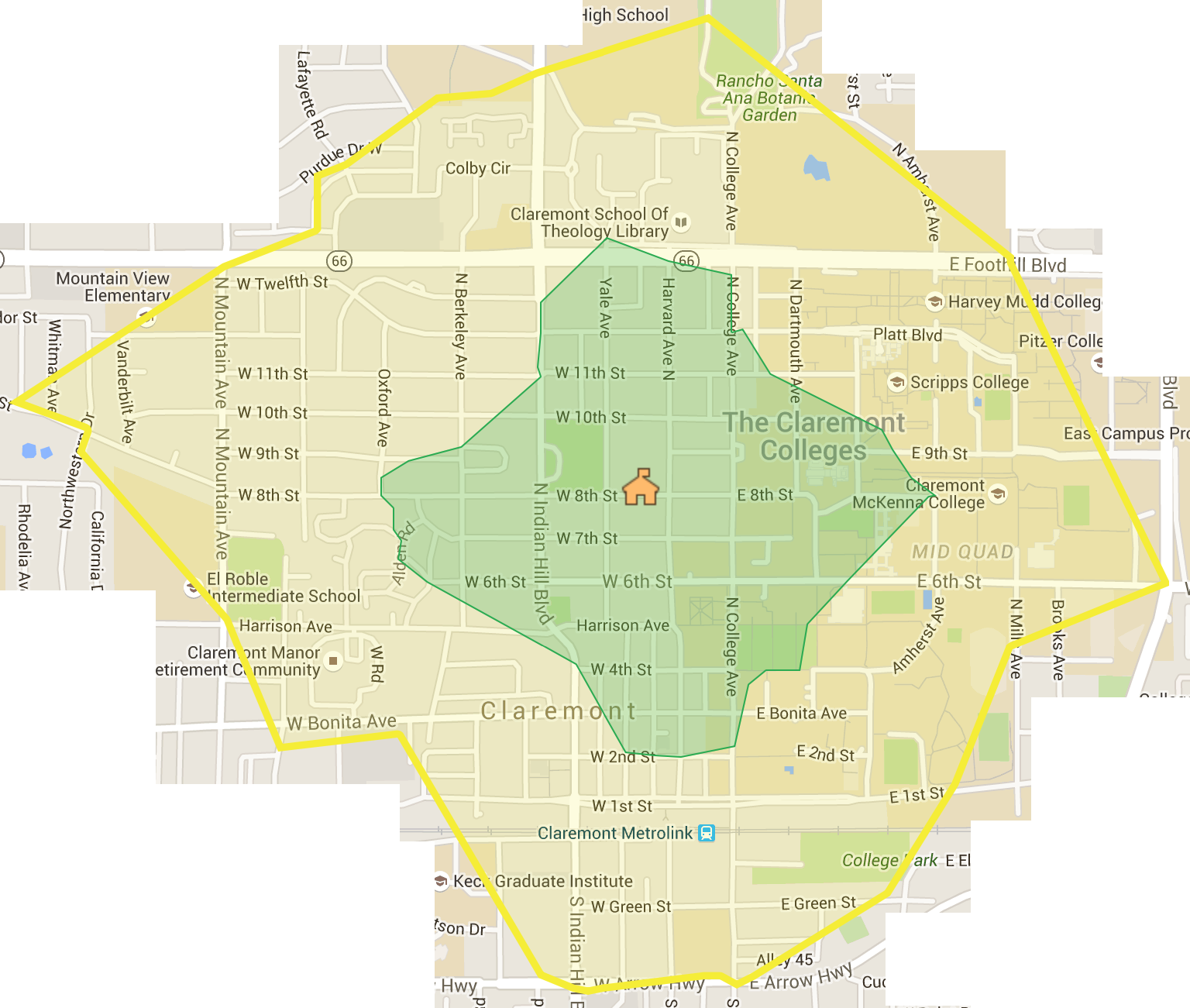
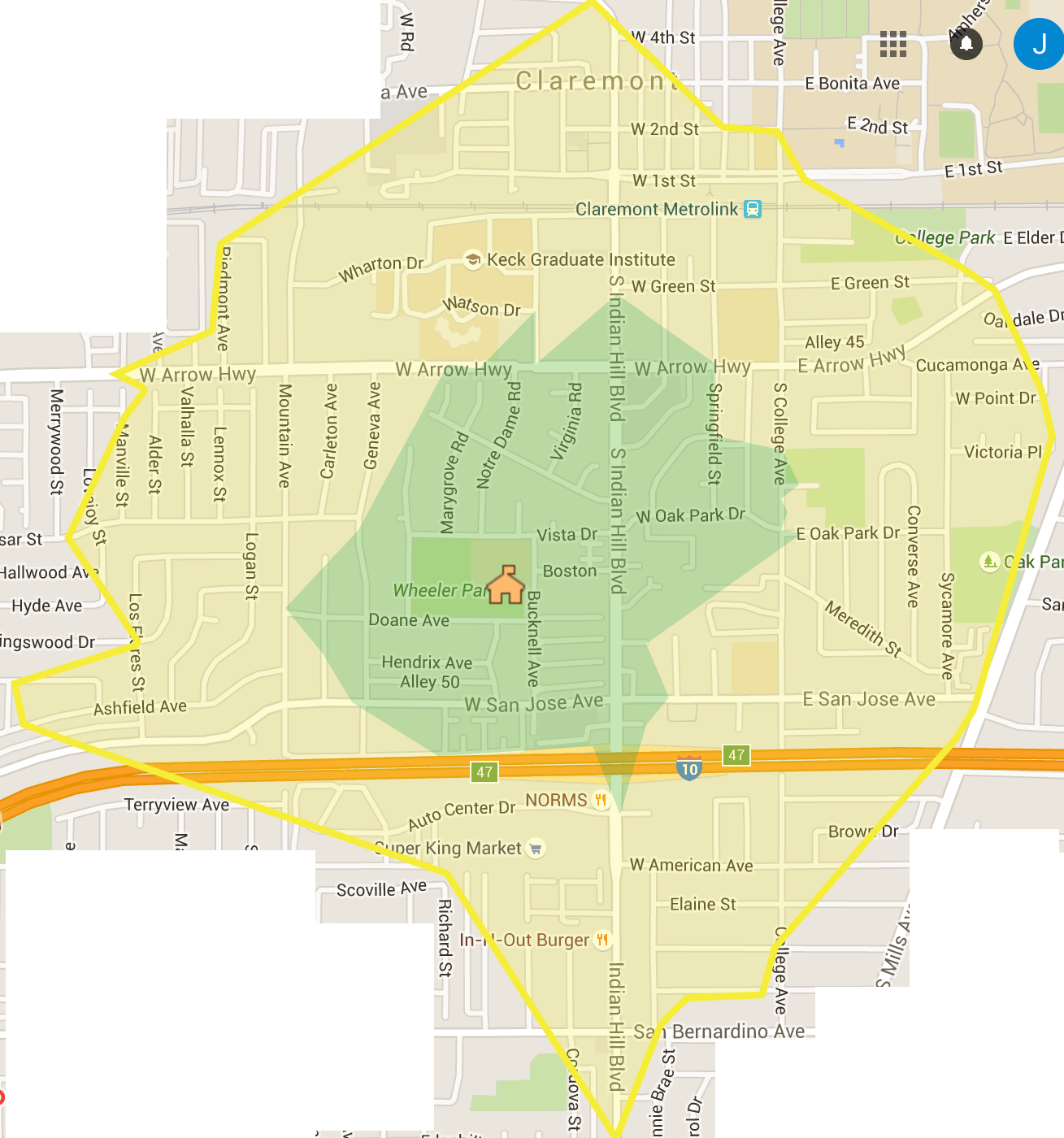
In summer 2016, Erin McCarthy is developing maps for local schools showing walk zones and prefered walk routes. She plans to expand the maps to allow parents to give feedback on ideal routes and problem intersections.

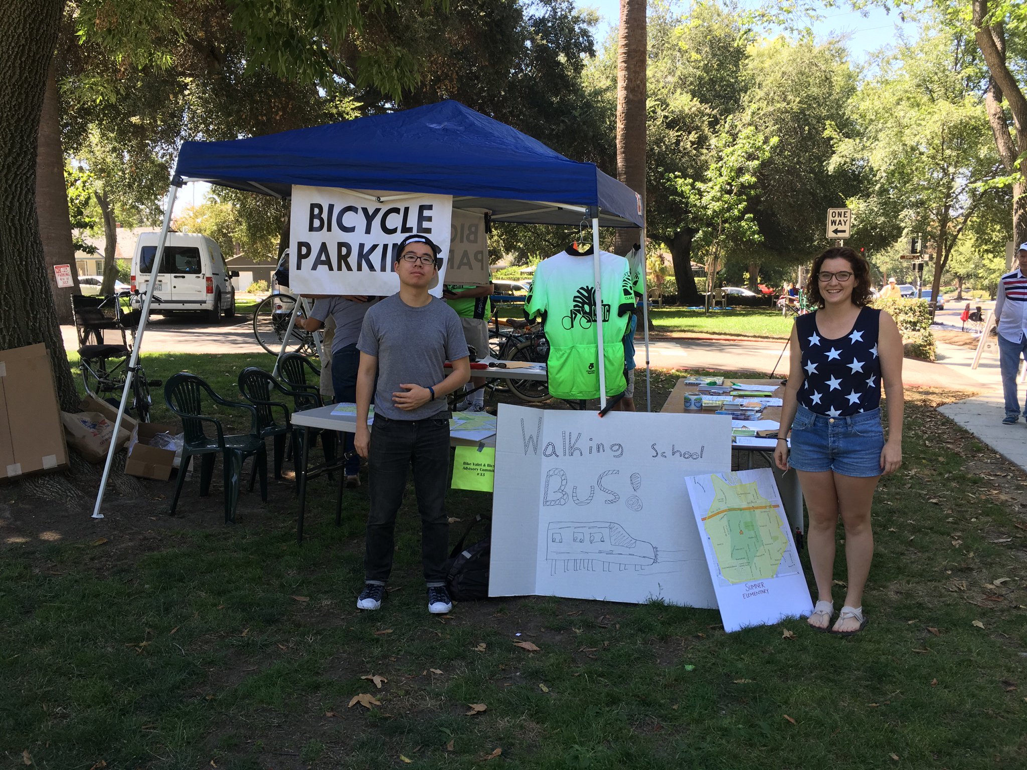
We are currently planning a pilot program using our walking school bus app in Fall 2016. If you are an interested parent, teacher, or administrator, please join our mailing list .
The first version of the walking school bus app was developed in Spring 2016 as part of a CS 121 (Software Development) project. Yi (Jack) Yang, Yiqing (Michael) Cai, and Weiyun (Anna) Ma developed the Android tool. The iOS app was developed by Vinh Hoang, Xiaoyang Qian, and Amanda Yin. Michael is continuing development in summer 2016, with plans to run a pilot program at Claremont schools in the fall.
In summer 2015, Alyssa Kubota worked on routing algorithms for identifying the best meeting points for walking school buses, and for determining which students should meet at each point.
Read Alyssa's Final Report .
In summer 2015, Yashas Hegde worked on a low-cost, arduino-based air quality sensor that could be used in classrooms for student-led experiments.
Read Yashas's Final Report .